
Stockbridge Neighbors by Source
The sound block method inventories parcels, not people. Each official source answers one narrow question: where lots sit, who holds title, what instruments govern a subdivision, or which voter fields the state lawfully releases. No source is a full roll of Stockbridge neighbors.
| Official source | Block-level evidence | How to reach it |
|---|---|---|
| Henry County GIS | Parcel pattern, situs and spatial relationship | Free county mapping link |
| Tax Assessor search | Title owner, mailing address, parcel and exemption clues | Free address search |
| Plats and covenants | Lot, block, easements and named association instruments | Clerk or county records request |
| Permits and code files | Project dates and named applicants or contractors | City or county custodian, based on jurisdiction |
| Georgia voter file | Only lawfully released registration fields | Ordered from the state or county election custodian |
| Community contacts | Public officers, meetings and covenant notices | Voluntary public page or recorded instrument |
A tax owner may live elsewhere, and the owner mailing line may be a business, trust, or different home address. A homestead exemption can support an owner-occupancy lead, but its effective date and eligibility must be checked. It still does not name every person in the household.
Click Stockbridge Parcels Next Door
Open the Henry County Mapping page, locate the target parcel, and retain enough road and scale context to avoid shifting to the wrong lot. Click each touching or nearby polygon, then open its linked parcel details. The inspected county wrapper did not verify a radius or buffer button, so adjacent clicks and pan-and-zoom are the supported method.
For each lot, record the parcel ID, situs address, title owner, and owner mailing address as separate fields. Visible parcel boundaries carry more weight than the nearest street-number label. If the live viewer later exposes more layers, confirm what each layer means before using it.
Note: A parcel polygon and tax card identify land and title; neither one lists renters or every person who occupies the address.
Map a Stockbridge Neighbors Block
Move outward from one verified address rather than typing names at random. This process creates a reproducible parcel table for the immediate block and preserves the difference between a map result and an occupancy claim.
- Search the target situs address through the Henry County Tax Assessor. Save the parcel number.
- Open mapping, center the known polygon, and click each parcel that touches it.
- Open each parcel card and keep owner, owner mailing address, situs, legal description, exemption and sale fields distinct.
- Check plats or covenants when the lot belongs to a named subdivision. They explain block structure, not current residents.
- For a whole road rather than the immediate radius, switch to the Stockbridge street directory.
The resulting flow is simple: address to parcel, parcel to touching polygons, polygons to parcel cards, and cards to a block table. Only then should voter or community material be consulted, and each addition should stay labeled by source.
Stockbridge Neighbors in Voter Data
Georgia's My Voter Page is an identity-gated self-lookup, not a tool for browsing a block. The public file ordered from the Secretary of State is different. It can include residence street parts, unit, city and ZIP, municipality, precincts, districts, status, name and birth year. Full birth date, Social Security number, state ID number, email and application location are protected.
The file can support a lawful block study, but it excludes minors, unregistered adults, canceled registrations and protected addresses. Georgia voters do not register by party. A primary ballot field records which party's primary ballot was selected, never the choices marked.
| Voter field | Block use | Limit |
|---|---|---|
| Residence street and unit | Sort nearby registrations | Not a household roster |
| ZIP and municipality | Separate postal and civic geography | Fields can differ |
| Birth year | Distinguish similar names | Full date stays protected |
| Precinct and districts | Understand civic boundaries | Does not show ballot choices |
Stockbridge HOA Records, Not Rosters
Henry County's open-records routing page expressly lists “Subdivision Covenants, HOAs & Deeds.” Ask for a recorded declaration, covenant, amendment, plat reference, or government-held public contact. Those records can name an association and explain duties attached to lots. They do not promise a private member list.
County records route
Use the Henry County request page for the identified subdivision instrument or HOA record category.
Clerk real estate files
Use a recorded book, page, plat, or association name to locate title-linked instruments.
Public association contact
Use only an officer or contact voluntarily posted by the association itself.
No official Stockbridge umbrella directory or verified roster of local neighborhood associations was found. That gap should stay visible. A scraped roster or guessed organization would turn weak data into a false directory of Stockbridge neighbors.
Official Stockbridge Block Evidence
Commercial neighbor tools often merge old addresses and public fragments without showing their update dates. Official rolls are narrower, but they name the custodian and the field being reported. Use a comparison before accepting any claim about nearby people.
| Source class | Strength | Main caution |
|---|---|---|
| County parcel and GIS records | Official land and title context | Owner is not always occupant |
| State voter file | Defined public fields and civic geography | Not all residents are registered or visible |
| Recorded covenants and plats | Official subdivision framework | No private household roster |
| Commercial compilations | Broad name and address hints | Uncertain source dates and merges |
Resolve conflicts at the originating assessor, clerk or election office. Removing a listing from a commercial display does not erase the source record.
Are These Stockbridge Neighbors?
A Stockbridge, GA 30281 mailing address does not prove that the block lies within incorporated Stockbridge. USPS delivery geography and city limits serve different purposes. Check the parcel in county GIS, then consult the current municipal boundary before deciding whether City Hall or Henry County holds permits, code files or other local records.
This distinction matters at block scale. Two nearby parcels can share a postal label while government services or record custodians differ at a boundary. Save the date of the map check because annexation can change jurisdiction. The property parcel remains the stable link between the situs and title record.
Boundary rule. Confirm USPS delivery, parcel identity, and municipal jurisdiction separately before calling a postal block a Stockbridge city block.
Probate Clues Around Stockbridge
A deed held by an estate, an inherited lot, or a deceased title owner may lead to Henry County Probate Court. Probate records can identify an estate case or personal representative when the public docket allows, but they should be used to resolve a land-record question, not to speculate about household ties.
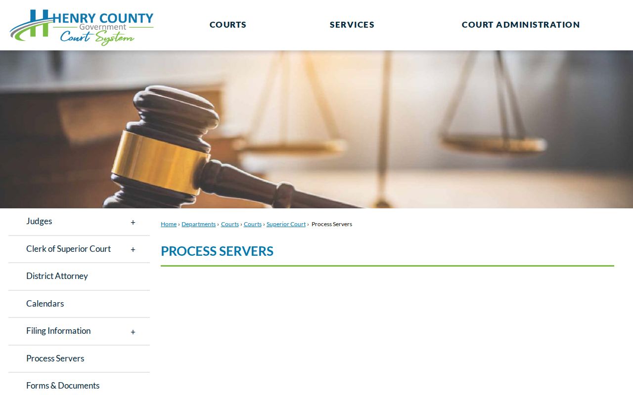
Review the official Henry County Probate Court services before following an estate clue.
Names found in probate still require comparison with the parcel number, legal description and recorded deed. A shared surname alone is not proof that two nearby owners are related.
Stockbridge Public Safety Context
Public-safety databases answer custody or incident questions, not who lives next door. The Henry County inmate search is a current custody source, while the sheriff's open-records process handles existing agency records. Neither should be treated as a block directory or used to assign a record to a nearby household without matching identifiers.
Open the official Henry County inmate-search page for a custody question.

Use the sheriff's official open-records page for a narrowly described existing record.

Reconnect Through Stockbridge Name Leads
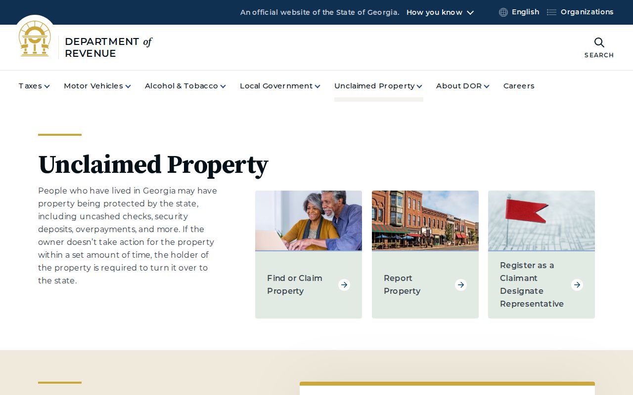
For a lawful reconnection or estate search, Georgia's free unclaimed-property program can provide a separate name-and-city lead. It does not show a current household, and a claim requires identity proof. Keep it outside the parcel table unless the name and other records clearly connect.
Search through the Georgia Department of Revenue Unclaimed Property program.
Privacy for Stockbridge Neighbors
Parcel and voter records have firm gaps. Renters and unrecorded occupants, minors, household relationships, utility customers, delivery data, DMV addresses, protected voter addresses, and sealed or redacted facts do not become public merely because another detail appears online. Georgia law also permits specified home and family information to be withheld for certain protected public workers and related classes.
Georgia election protections can suppress the residence of a qualifying voter. Contact the Henry County registrar or Secretary of State for current handling instead of assuming every public roll displays the same address. A missing person may be protected, unregistered, recently moved, or simply absent from that record type.
Lawful use. Block research is for civic curiosity, reconnection, estate work, and personal safety. Georgia law prohibits stalking, surveillance, threats, and harassing contact.
When an official record is wrong, contact the office that created it. Do not fill a gap by guessing who shares an address or by publishing private association material.