
Stockbridge ZIP Directory Coverage
Official USPS material verifies one postal core for Stockbridge: 30281. It serves the Stockbridge postal community and a surrounding delivery territory, but that territory is not the same shape as the incorporated city. No inspected official USPS and city crosswalk proved that nearby ZIPs serve incorporated Stockbridge, so they should not be added from memory or from a commercial map.
| ZIP | Verified delivery area | Postal facility | Boundary note |
|---|---|---|---|
| 30281 | Stockbridge postal community and surrounding delivery territory | Stockbridge Post Office, 110 Walter Way | Not coterminous with Stockbridge city limits |
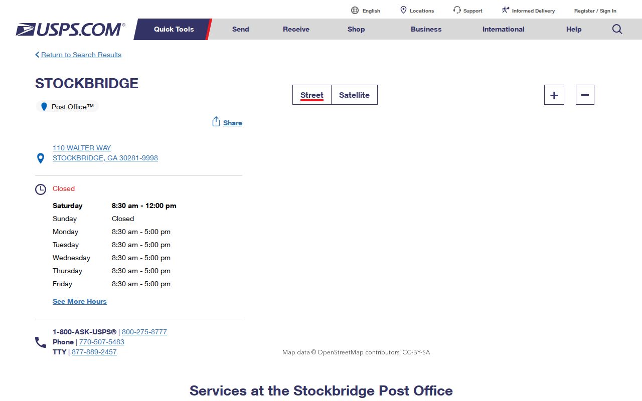
The USPS Stockbridge Post Office page lists carrier and general delivery, PO boxes, bulk-mail acceptance, and round-the-clock PO-box and self-service access. Retail hours are Monday through Friday, 8:30 a.m. to 5 p.m., and Saturday, 8:30 a.m. to noon. The direct number is 770-507-5483. Those details confirm a facility, not the municipal status of every address it serves.
See the official facility details before visiting the Stockbridge Post Office.
Verify a Stockbridge ZIP Address
USPS validates delivery data one full address at a time. Enter the street number, street name, city and state in the USPS ZIP Code Lookup. The result supplies the standardized delivery line and ZIP Code. A preferred city name is a postal label. It does not decide which government issued a permit or whether a parcel receives city services.
| USPS lookup field | Use | Required check |
|---|---|---|
| Street address | Matches a delivery point | Use the complete number and road name |
| City and state | Narrows the postal match | Treat the returned city as a mailing label |
| ZIP result | Standardizes the postal code | Confirm jurisdiction separately |
Open the official USPS address lookup to test a specific Stockbridge address.
Stockbridge Postal Service Update
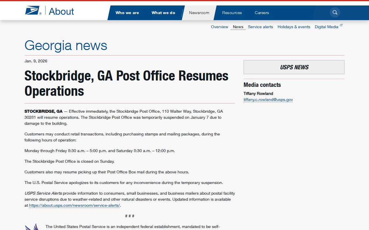
The Stockbridge postal hub has a recent service history worth checking before a trip. USPS announced that the Walter Way office resumed operations in January 2026. Current facility details should still be checked on the official locations page because schedules and available services can change.
Read the USPS Stockbridge reopening notice.
Postal notices can confirm where and when service resumed. They do not produce a list of people in the ZIP or resolve whether a household sits inside the city.
Find Stockbridge Residents by ZIP
The public voter file is the strongest researched source with a ZIP field, but it is an ordered state product rather than a casual web browser. The assessor and GIS interfaces were not proven to offer a ZIP filter. Use their address and parcel tools only after USPS has standardized a specific address. This keeps the ZIP code directory tied to verified functions.
- Validate the complete address through USPS and save the standardized ZIP.
- Search the Henry County property records by location address. Note the situs address, parcel ID and title owner.
- Use the county map to confirm parcel placement. Do not infer a ZIP-wide GIS layer unless the live viewer offers one.
- For lawful ZIP-level voter research, order the appropriate file from the Georgia Secretary of State and use its residence ZIP and municipality columns.
- When the search narrows to one road, use the Stockbridge street directory for an address-level record chain.
Georgia's voter product can be filtered by municipality, ZIP, precinct, street components and districts. It omits minors, people who are not registered, and protected records, so it is not a full household roll. Individual My Voter Page access is identity-gated and intended for a voter to check a personal record.
Stockbridge ZIP Voter Fields
The Georgia voter-list order page describes standard files and delivery. Residence fields include street number, directions, street name and type, unit, city and ZIP. Municipality is a separate field. That separation is critical near Stockbridge boundaries: a residence-city or ZIP value is not a substitute for the municipality column.
Public files use birth year rather than full date of birth. They also include registration status, precinct and district fields, but election history never reveals choices on a secret ballot. Orders are generally processed in about two weeks, with electronic delivery by email and no custom or expedited orders.
Practical check. Keep the residence ZIP and municipality in separate columns when building a lawful family-history or civic research list.
Three Stockbridge Boundary Checks
A borderline Stockbridge address needs three independent answers. Each system serves a different purpose, and none can stand in for the other two.
- Use USPS to confirm deliverability, preferred city and ZIP.
- Use the Henry County parcel map to confirm the situs and parcel identity.
- Check the current city boundary or annexation record to decide whether Stockbridge or Henry County holds a municipal record.
The city's archived statement on the Eagle's Landing boundary dispute documented real local confusion over city limits. It also opposed removing Stockbridge parcels into a proposed new city. That history explains why a mailing label alone is too weak for routing a permit, code or open-records request.
Note: Date every boundary check because annexations can change the government geography attached to an otherwise stable mailing address.
Stockbridge ZIPs Versus City Limits
ZIP Codes organize delivery routes, while incorporated boundaries assign local jurisdiction. A parcel may use Stockbridge, GA 30281 yet fall outside Stockbridge city limits. In that case, Henry County rather than the city may hold permit or code records. Conversely, no nearby ZIP should be declared part of the incorporated city without checking both the full address and the current boundary.
- ZIP Code
- A five-digit USPS delivery area. It is not a municipal boundary.
- ZIP+4
- The basic ZIP plus four digits that narrow delivery to a segment, building, or group of boxes.
- PO-box ZIP
- A code or delivery pattern used for post-office boxes rather than ordinary street delivery.
- Unique ZIP
- A code assigned to one high-volume organization. None was verified for Stockbridge.
- Carrier route
- A postal delivery sequence within a ZIP, not a list of city residents.
The distinction also prevents requests from going to the wrong custodian. City Hall handles city-created administrative records. Henry County offices keep the parcel, deed, voter and many court records that form the broader local name-and-address trail.
Stockbridge Counts Change With Geography
The Census QuickFacts profile reports 28,973 people in the 2020 enumeration across 13.70 square miles. Its revised 2020 estimates base is 35,544, and the July 2025 estimate is 36,331. Those figures do not conflict once the reference geography is considered. Legal boundary updates and annexations can alter the base used for estimates.
A ZIP-wide population should not be substituted for a city count. The Stockbridge ZIP code directory follows postal geography; Census place totals follow incorporated geography at a stated time. Record the year, boundary and source with any number used in genealogy, civic analysis or neighborhood research.
Stockbridge Address Fields Differ
A postal line, parcel location, tax-bill destination and deed description may all refer to the same land in different ways. Keeping them separate prevents false matches in a ZIP code directory.
| Address field | What it means | Best use |
|---|---|---|
| USPS mailing address | Standard delivery label | Confirm ZIP and preferred city |
| Situs address | Physical parcel location | Map and assessor search |
| Owner mailing address | Tax-bill destination | Contact clue, not occupancy proof |
| Legal description | Lot, block, subdivision, or metes-and-bounds identity | Bridge deeds despite address changes |
A title owner may receive mail elsewhere, and a renter may never appear on the tax roll. The legal description is often the most stable key when a road name, number or city boundary changes.
Stockbridge Moved Before ZIP Codes
Stockbridge began around Concord Methodist Church near present East Atlanta and Stagecoach Roads. After the railroad could not obtain land through old Stockbridge, the depot and town center moved about one mile south. The depot stood roughly 600 feet north of today's North Henry Boulevard bridge and was destroyed around the early 1980s.
This history changes how an old place reference should be read. A deed, church note or census entry that says Stockbridge may point to the earlier church-centered settlement rather than the later depot town. Modern ZIP fields cannot repair that gap by themselves. Pair the historic place description with deeds, parcel mapping and date-specific county boundaries.
Note: Historic Henry County was larger before later counties were carved away, with its modern boundary substantially stable since 1870.