
Walk a Stockbridge Street Directory from Address to Record
The most reliable street-by-street method starts with Henry County's parcel roll and keeps ownership separate from occupancy. A Stockbridge mailing line can cover land beyond the incorporated city, so the parcel and jurisdiction come before city permit research. Keep a short log of the exact address, parcel ID, legal description, owner name, and each source date. That log prevents two nearby lots or similar street spellings from being merged.
- Search the situs address, or a number range on one road, through the Henry County Tax Assessor Search Records launch page.
- Save the parcel ID, current title owner, owner mailing address, legal description, and any sale or deed reference shown.
- Open the official mapping link and click the matching parcel polygon, then inspect other lots along the road one at a time.
- Carry the owner name or deed book and page into the GSCCCA Real Estate Index to check recorded transfers.
- Choose Stockbridge or Henry County permit custody only after confirming whether the parcel lies inside city limits.
- Use voter information only through lawful state or county channels, and ask the library about historical reverse sources without assuming a local run exists.
This sequence makes the street directory auditable. A later reader can see which claim came from a tax card, a deed, a map, or another dated public record.
Search Stockbridge Street Records in the Parcel Roll
The county's official launch page connects to the Henry qPublic or Schneider search. Its address mode is the practical entrance for a by-address search, while the parcel number and legal-information modes help when street wording has changed. The documented interface pattern supports these search choices, though labels should be checked on the live Henry instance.
The Henry County record-location guide shows how the county routes researchers toward the record keeper.
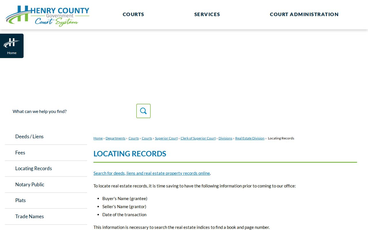
That routing page helps confirm which office should receive a focused request after the address and jurisdiction are known.
| Search choice | Input | Best Stockbridge use |
|---|---|---|
| Owner name | Surname, company, or partial name; exact-match option | Find parcels connected with a known titled party |
| Location address | Street address or number range; exact-match option | Browse likely parcels on one named road |
| Parcel number | Parcel identifier | Return to the same land without relying on street spelling |
| Legal information | Subdivision, lot, or legal-description terms | Bridge plats and older deeds to the current parcel |
A parcel card may include situs, owner mailing address, values, acreage, tax district, sale data, exemptions, improvement facts, a sketch, and a map link. Read each field as evidence with a date. The roll names the titled owner, not every person at the address.
Terms That Keep Stockbridge Address Research Accurate
Address work becomes much clearer when the record vocabulary stays precise. These terms are related, but they are not substitutes for one another.
- Parcel
- A mapped unit of land with its own county identifier, and the strongest join key across the assessor roll, map, and deed references.
- Situs address
- The physical property location on a parcel record. It can differ from the address where the owner receives mail.
- Plat
- A recorded drawing that identifies lots, blocks, boundaries, easements, or subdivision context.
- Criss-cross directory
- A directory organized by street or address rather than only by surname. No exact Stockbridge or Henry County run was verified.
A legal description is also vital. Subdivision, lot, block, or metes-and-bounds text can preserve land identity when a road label or house number no longer matches.
Browse Stockbridge Parcels One by One in Henry GIS
The Mapping link on the county assessor page supplies the official route to parcel geography. Search an address or parcel, zoom to the result, and click the visible polygon. Then pan along the road and inspect nearby polygons separately. A label placed near a lot is not enough; the boundary and linked parcel detail must agree.
The accessible county page did not publish exact toolbar names, a layer inventory, buffer tools, export rules, or an update cycle. A careful street directory therefore should describe only the parcel boundaries and linked tax context that can be verified. It should not promise zoning, flood, aerial, school-district, or radius functions without checking the live viewer.
The Henry County parcel mapping page shown here is the official doorway to this map workflow.
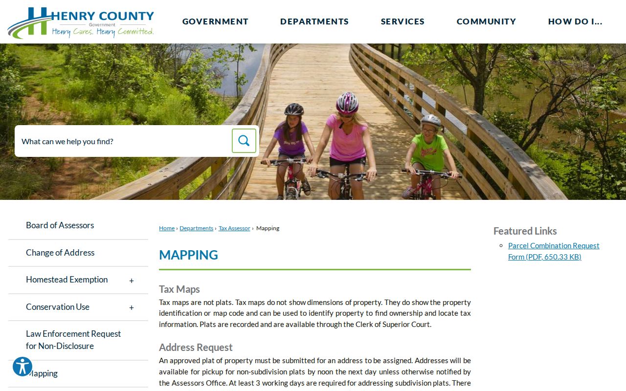
The page confirms where Stockbridge researchers should begin before assigning an address label to a particular mapped lot.
Which Stockbridge Records Can Be Read by Street
No one database supplies a full household roll. Useful coverage comes from combining several address-keyed sets and retaining the limit of each one.
| Address source | Public clue | Official access and limit |
|---|---|---|
| Assessment parcel card | Title owner, owner mail destination, situs, legal and sale facts | Henry assessor search; no renter or household list |
| Parcel map | Boundaries and relationship to other lots | Henry Mapping link; inspect polygons individually |
| Recorded deeds, liens, and releases | Parties, instrument type, record date, and legal description | GSCCCA and Clerk Real Estate Division; image limits may apply |
| Plats and recorded covenants | Lot, block, easement, and subdivision framework | Clerk records or county open-record routing |
| Permits, plans, and inspections | Project, applicant, contractor, date, and status where recorded | City or county custodian depends on jurisdiction |
| Voter information | Fields released under Georgia law for an eligible record | Identity-gated lookup or lawful custodian process, not casual street browsing |
The parcel ID and legal description form the stable bridge. A street name helps discover records, but land identity keeps the chain intact.
Move from a Stockbridge Parcel into Recorded Deeds
Once the parcel card gives an owner or deed citation, use the statewide GSCCCA Real Estate Index. Select Henry County, then search a party name as grantor or grantee. Instrument type and recording-date bounds can narrow results; book and page or instrument number can retrieve a known filing. A normal index entry can identify the parties, document type, recording date, county, and citation. Images or advanced access may require an account.
The Georgia real-estate deed search provides the statewide index interface used for the next step.
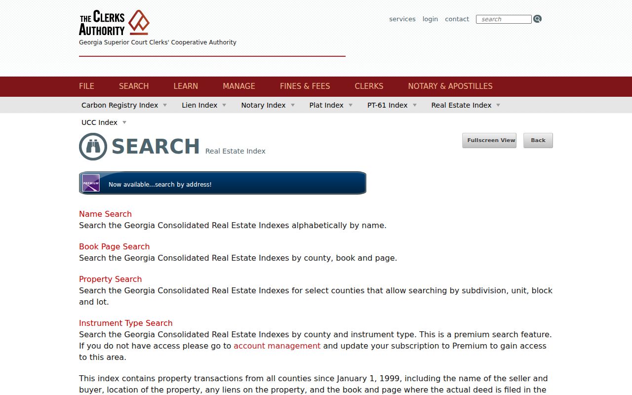
Its county, party, instrument, date, and citation modes let a parcel clue become a documented Henry County filing search.
For a whole road, repeat the parcel-to-deed step instead of treating every name result as land on that road. Deeds may omit a modern street address. Verify the same legal description, and remember that a security deed is a loan instrument while a release does not by itself transfer title.
The captured Henry County deeds and liens page identifies the local Real Estate Division behind that chain.
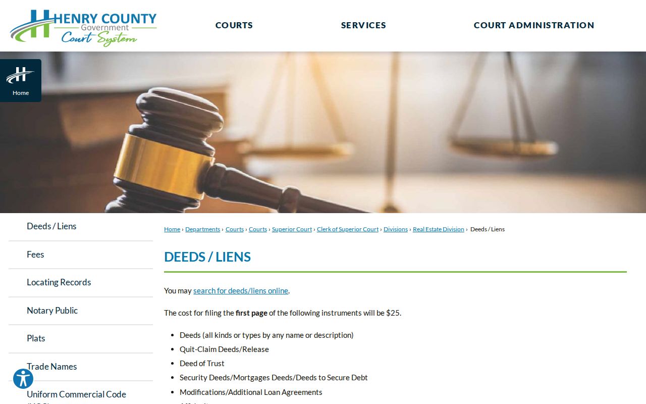
That county page also points to help when an index citation needs an official copy or explanation.
Why a Stockbridge Mailing Line Does Not Set City Limits
A Stockbridge, Georgia 30281 postal label organizes mail delivery. It does not prove that the parcel is inside incorporated Stockbridge. That local geography affects the street directory because city Community Development may hold a municipal permit while Henry County routes records for a parcel beyond the boundary.
Use three checks for a borderline address: USPS address validation for the preferred postal line, the county parcel and map for situs identity, and the current municipal boundary for jurisdiction. The city's own 2017 statement about clearer boundaries and the Eagle's Landing proposal documents why this distinction is more than a technical point.
Note: Confirm parcel jurisdiction before sending a permit request, since the postal city alone cannot identify the right custodian.
Add Stockbridge Permit and Code Evidence by Address
For a parcel confirmed inside the city, Stockbridge's SagesGov route supports permit and occupational-tax applications. Existing permit, inspection, certificate, or code records may need a focused request to the city custodian. For land outside city limits, Henry County's open-record routing page covers building plans, permits, inspections, certificates of occupancy, roads, septic records, and subdivision covenants.
A useful request states the exact address, parcel ID if known, record type, and date range. Ask for existing records rather than an explanation or newly compiled street list. Permit names can identify an applicant, contractor, or owner connected with a project, but they do not establish everyone who occupied the site.
The city's building-record rules give official context for records created through local building administration.
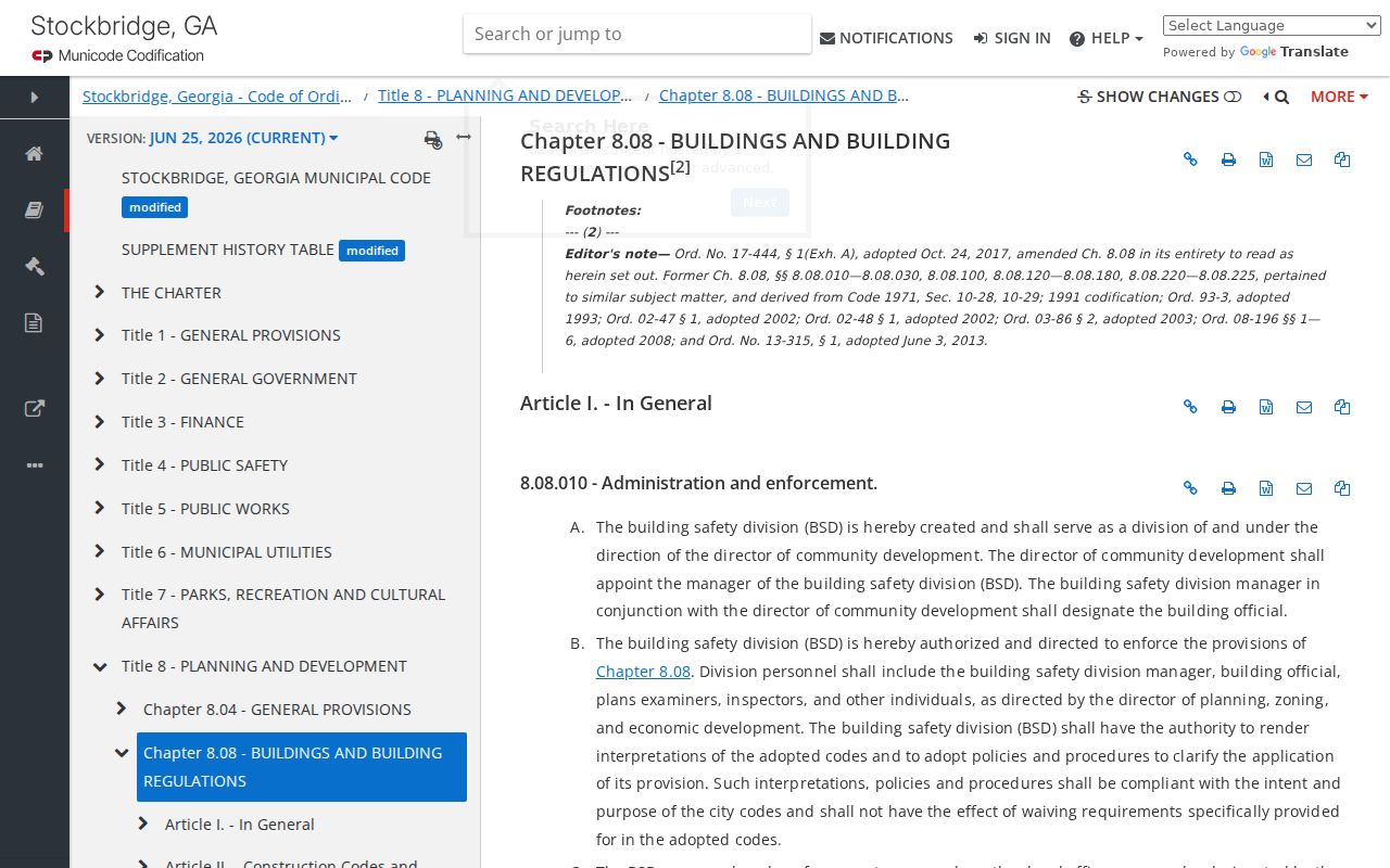
The ordinance source helps frame why a dated permit file is project evidence rather than proof of every person at an address.
The captured Stockbridge SagesGov page shows the city portal tied to these applications.
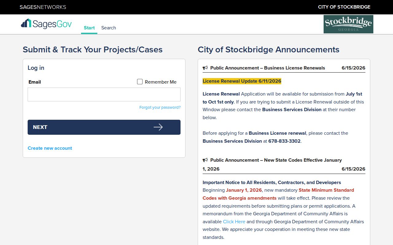
Use its record context alongside the parcel roll rather than treating an applicant name as a household roster.
Historical Address Clues from Stockbridge Collections
No verified source establishes a freestanding Stockbridge residential or reverse-directory run with exact years. Ask Cochran Public Library or Fairview Public Library to search PINES for Stockbridge, Henry County, telephone, and reverse directories. Georgia Archives staff can check GIL and Henry County binders. Atlanta's directory run must not be presented as if it covered Stockbridge homes.
Other sources can bridge dated clues. The Henry County Weekly is searchable in Georgia Historic Newspapers, and HCLS offers licensed newspaper access through GALILEO. Search a name in quotation marks, then repeat with initials, the surname plus Stockbridge, and a road, church, school, or farm name. The Stockbridge directory book guide explains the verified historical shelf without turning it into a claim about current occupants.
Old Stockbridge and the Railroad-Era Street Shift
Stockbridge began around Concord Methodist Church near present East Atlanta and Stagecoach Roads. When railroad land was not obtained there, the depot and town center shifted about a mile. The later depot stood north of today's North Henry Boulevard bridge and was removed around the early 1980s. An early reference to Stockbridge may therefore point to the church-centered settlement rather than later downtown.
This history is an address-continuity warning. Match early descriptions through land, institutions, neighbors, and legal descriptions before placing them on the current grid. Henry County once covered a larger area, with its modern boundary substantially stable since 1870, so very old county labels also need historical context.
What Stockbridge Address Records Leave Out
A parcel polygon and tax card do not name renters, all occupants, minors, or household relationships. Owner mailing addresses can differ from the situs, entities and trusts may hold title, and transfers may take time to appear. Utility customer records, DMV addresses, protected voter details, and sealed or redacted records remain outside an ordinary by-street search. Even a homestead exemption is a clue consistent with owner occupancy, not proof of each person living there.
Use the Stockbridge street directory to organize official, dated evidence and state each limit plainly. Verify an important result with the office that keeps it, especially when an index is only a pointer to an underlying document.
Lawful use. Use address records for legitimate personal research, civic understanding, or family and property history. Never use them to stalk, harass, threaten, or harm a person.